Tragic Kayaking Death In Chile May Have Been Avoidable

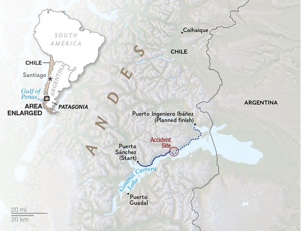
CPat18[1]Accident Site Map

General Carrera Lake in Southern Chile (Click to Enlarge)

-by Jay Murdock, SDKC Safety Editor

The Accident

In December of 2015 a San Diego Kayak Club member sent out a National Geographic story of an incident earlier that month involving well-known world-class outdoor adventurers. Six highly skilled and experienced men, including the founder of North Face were kayaking the northern shore of General Carrera Lake in southern Chile, and were caught 600 feet (a distance of two football fields) from shore in sudden high winds while rounding a large peninsula. Within 10 minutes the conditions changed from calm/no wind, to gale-force winds creating six-foot-high, closely set waves. ** (See link below to read the story first)

An Accident That Could Happen to Anyone

No one, regardless of experience and skill level, is immune from an accident. In most cases an accident is caused by a series of mistakes, even with those events related to severe weather. For instance,  the FAA has found in studying air plane accidents, when human error was a factor, there were two or more reasons, or mistakes, that typically contributed to the accident. They found in almost every case the accident could have been avoided had different decisions been made. And it was found that pilots who took chances were more likely to be involved in a tragic accident. By looking closely at the Chile tragedy, we can learn from what happened, and maybe avoid an accident in our future.
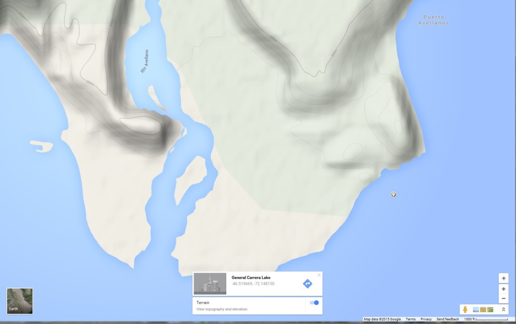
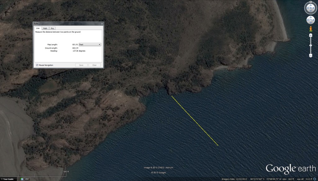
General Carrera Lake - Apprx Accident LocationGeneral Carrera Lake - ChileGeneral Carrera Lake - Landing Sites

(Click to Enlarge)

Why They Were So Far From Shore

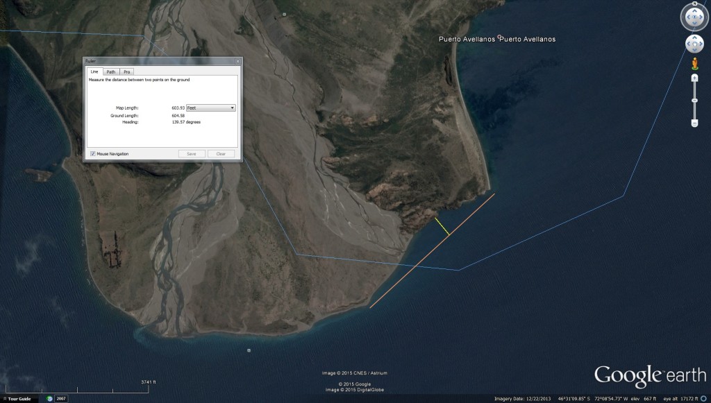
By examining the incident report, satellite photos and topo maps, it is evident just where the tragedy took place. Looking at the 3 maps above, the most likely reason the group was 600 feet from shore when the winds came up is that they were taking a direct line between two jutting land points in order to save time or some other reason, but it does not appear they were avoiding shallow water. In the above map/left side, the six men were rounding the peninsula going east, and were caught by the sudden wind somewhere in the area of that map marker off shore. You can see why they decided to “cut the gap” along the curved shoreline, taking a direct route across the opening in order to round the point on the far right side of the map. The two satellite photos have a yellow line I’ve added, showing the 600 foot distance they were from shore, a line which would be perpendicular to their line of travel across the opening (orange line on the expanded area photo). The far right photo clearly shows 4 emergency landing sites along that steep rocky shore, places to exit the water before rounding the point on the far right of the photo (the place where some in the group made it to).

The 100 Foot Safety Rule

Crossing large open water on a lake or bay should take several factors into consideration. Group size, boat traffic, water temperature, wind and weather conditions/predictions, working condition of your equipment, time of day, and capability of each in the group. Unless you absolutely have to venture far from land, it is always much safer to stay close to the shore. It may add another mile or so to arrive at your destination, but taking the safer route is always the wise choice.

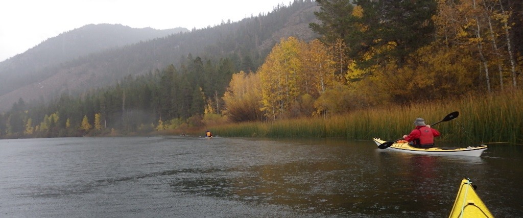
By simply “Hugging the Shore” not more than 100 feet away keeps you within that distance where you can reach a landing point quickly, while staying just far enough off shore to avoid rocks or other obstacles just under the surface. 100 feet is about six lengths of a sea kayak. By staying close to shore you are hopefully within two minutes of landing, given that you may need to paddle along the shore to find a place. Mild, prevailing winds are not the concern here. If a sudden wind starts up, or a mild wind suddenly increases, that is the time to start moving toward shore and looking for an exit site. If the best exit point is upwind, you will need to make that turn before the wind gets too strong. Closing that  distance part-way will increase your “Margin of Safety”, and will let you get in faster if the wind continues to increase in velocity. Knowing where you are, and the best places to land will allow you to make quick and reliable decisions for the best outcome. In this case under examination, from the account in the article, the two men were being taken by the wind and current out into the lake. Had the group been hugging the water’s edge, that curved shoreline area was most likely in a partial lee from the wind, and not in the current (many large lakes have currents caused by wind, water temperature variants, and inflowing rivers, and the shoreline typically slows down a current due to friction).
Hugging Shore

Hugging the Shore

Resources to Help in Planning and Executing a Paddle

Topo maps are a great help in determining safe places to land on shore, but Google Earth can often be more help in actually seeing what is there. By looking at the topo map and Google Earth photos above, you can quickly see this advantage. Topo maps show the obvious contours of the land, and show the hill on the right side of the peninsula, the place where it was rocky at water’s edge. Google Earth not only lets you see the Lat/Lon and elevation as you move your curser over the terrain, but it lets you look at the features from near-ground/water level as you move along a proposed route. Before you leave on an extended paddle to a new location, study both in order to determine your best places for an emergency landing, and carry a print-out of critical areas along your route. Before each leg in a trip, go over the maps/photos of those areas in order to refresh everyone on an emergency plan. Carry a reliable means of communication. In remote areas, that means a satellite device. If possible, find out what the weather will be that day, but at least know what could occur by knowing the wind patterns for that area. Wind is the most difficult thing to predict, which is why the NWS will not give the wind speeds more than two days out. And wind can suddenly shift directions, which could result in a capsize. The area in Chile where this incident took place is known for sudden, fast-rising, high winds.

Other Considerations

  1. Wear the right safety gear and protective wet/dry suit for the water temperature, covering your whole body with one immersion suit (our legs comprise the largest percentage of skin area of our body, and a one-piece suit also protects your mid-section). Protective clothing will also help stave off shock from sudden cold water immersion. If you find yourself suddenly in cold water, you have about two minutes before you become numb and unable to function, so act fast. Know how to perform the “Heel Hook” reentry and a “Quick-Tow” if you cannot get back in your boat with two attempts. If both of these procedures fail, or you are being blown off shore, then a back-stroke swim to shore is your last resort, followed in by the other kayaker instructing you which direction to swim.
  2. Constantly check your equipment to make sure everything is working properly. If not, stop and fix it before proceeding. Carry a back-up and repair kit for the most critical items. One very important safety item to have is a paddle tether. There are choices in tow lines. My quick-tow line is deck mounted, and always right in front of me ready to use. It has a carabiner at one end for a quick attachment to the other boat. I have a small “jam cleat” mounted on my deck just behind me on the right side for a quick attachment of the other end, and a quick release if needed. The line is small diameter but strong, and long enough to have two feet over my lap, and a four foot gap between the boats.
  3. During each paddle, especially in a new location, observe the shoreline as you proceed in order to note the immediate best exit point. The more you pay attention to that, the more it will become an automatic observation.
  4. One more critical thing that is sometimes not considered essential: Fueling up prior to, and during the paddle with high-energy food. Even though adrenalin kicks in during an emergency, having enough energy to deal with high levels of exertion, and guarding against hypothermia is a vital consideration. That also means staying hydrated with water from an insulated container on cold air temperature paddles. More information on all this can be found on the San Diego Kayak Club website in the Safety articles (which have been given a “Thumbs Up” by the local Coast Guard).

Conclusion

It is most likely the group had been paddling close to shore that day as they went around the peninsula, until they came to the place where the shoreline fell away to their left. Seeing the other point of land to the east, they decided and assumed the sunny and calm conditions would hold while they crossed directly to that point, which was less than a mile away. Relying on their vast experience and skill level, they took a chance because it seemed easy. For those men on the lake that day, the difference of 500 feet distance from shore may have been the difference between life and death.

**- Details of the incident can be found with the following link:  http://news.nationalgeographic.com/2015/12/151213-doug-tompkins-chile-north-face-rick-ridgeway-patagonia-yvon-chouinard-death-general-carrera-lake/

Sea Lion Trip to Santo Tomas Baja California

This is a short report with photographs regarding a trip to Santo Tomas, Baja California. We departed San Diego on Dec 10th and drove to Ensenada via Tecate BCN.

The intent was to paddle out to a small group of rocks offshore called Rocas Soledad which are a known haul out for California Sea Lions and to count them and to examine as many as we could for evidence of physical damage from plastics and fishing gear. The trip was undertaken over 4 days with 2 days being spent on site. Seven counts were made by two observers and a total of 69 (plus or minus 9) Sea lions were counted. None showed any evidence of physical damage from fishing gear, nets or Monofilament line.

Santo Tomas

Santo Tomas

Santo Tomas is a small fishing village 40 kms south of Ensenada, Baja California in Mexico and 29 kms out to the coast on a dirt road. There had recently been a rain event which had put over 8 cms of heavy rain into the small valley. In some places there was over 30 cms of mud. It took about 6 hours to cover the 29 kms to the coast due to the hard going. We spent a total of 3 nights camping in the Santo Tomas Valley. It should be noted that the settlement in this valley antedates the city of Ensenada by some 150 years and that at one time this was the only Hispanic settlement on the west coast of California south of Monterey.

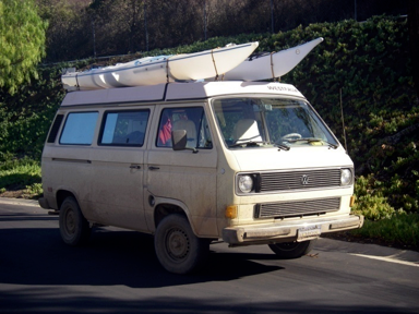
van

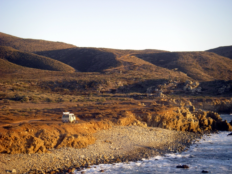
The trip was completed with the aid of a Volkswagen Vanagon and 2 Polypropylene Ocean Kayaks.

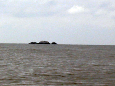
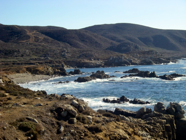
Rocas Soleded seen from Punta Riff, a small headland about 3 kms north of Santo Tomas.

Rocas Soleded seen from Punta Riff, a small headland about 3 kms north of Santo Tomas.

Rocas Soleded are about 1.5 kms offshore. They do not appear on the current DMA chart for the area but do appear on some local charts.


The paddle out to the rocks takes about 40 minutes headed just about due West (270 degrees Mag) and sea-lion observations were began at about 1000 hrs.
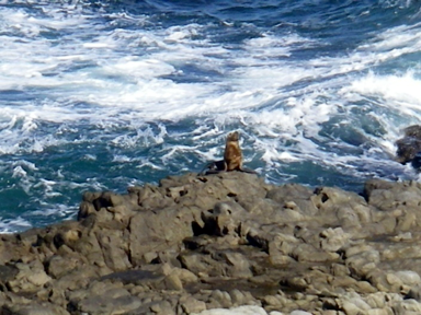
Sea-lions were evident on all three rocks . Evidently the rocks have been a haul-out for millennia as the base of all the rocks show evidence of smoothness and rounding that comes from continuous use by Pinnipeds. This is similar to other Sea lion haul-outs observed on Los Coronados Islands and Guadalupe Island BCN. Roosting populations of Brandt and Double-Crested Cormorants have covered the rocks in an abundant layer of Guano.This thick white material indicates that a goodly quantity of small fish are available for sea-lion predation locally. Several Black Vented Shearwater were observed flying offshore and identified by their characteristic “Flap -flap – glide” flight pattern.

photo12

A total of 7 counts were made over a space of 45 minutes which resulted in a population count of 69 (plus or minus 9). All of the Sea Lions were observed closely through 8x 20 binoculars for damage from fishing gear and nets and no damage was observed.The sea-birds were also examined for signs of fishhooks and monofilament line in their beaks and wings and none was found. The return journey was made through and over some very extensive Kelp beds that border the Santo Tomas Bay.

photo14

The second day was spent doing a search of the coast between Punta Riff and Puerto Tomas (5kms) looking for evidence of Sea lion haul-outs on the mainland. Only 1 sea lion was observed on the coast however there was much evidence of sea-lion haul-outs.
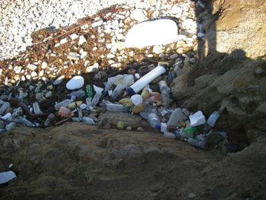
Plastic debris and the coastline viewed from Punta Riff:

Plastic debris and the coastline viewed from Punta Riff:

Regrettably, a small beach at Punta Riff was discovered to be completely inundated with plastic debris ranging in size from a block of Styrofoam nearly 1 meter cubed to small bits of Styrofoam < 1 cm. It included plastic bottles, fishing floats,old footwear, medical waste and miscellaneous plastic rubbish. The weight of this material was estimated at 30 kg. This debris was collected and destroyed in a fire. In retrospect it would have been better to have collected it and disposed of it in a landfill but access to a landfill was 120 Kms away and that landfill is merely a place where rubbish is buried in a river valley with no precautions taken to prevent to materials leaching into the groundwater.The photograph represents only a small portion of the total plastic found.

photo15

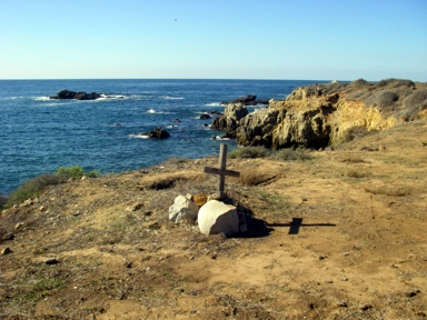
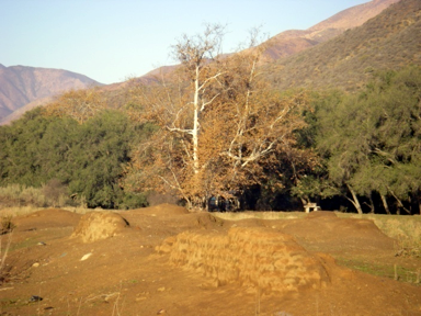
A small lonely gravesite was discovered out on the headland at Punta Riff with the date 3-18- 1913 carved into the crosspiece. On the right is the remains of the adobe walls of the Dominican Mission do Santo Tomas de Aquino several kilometers inland.

Historical note:

photo16
On the return journey 1 night was spent camping near the washed out remnants of the Dominican Mission which was founded in the Santo Tomas Valley circa 1760 and abandoned some 60 years later. The adobe walls stand about3/4 meter high. During a short search of the area we discovered what must have been the walls of the old kitchen garden marked out on the level sward. Just for fun the magnetic compass alignment of the mission was measured and found to be 88 degrees true which indicates that the Dominican Padres were pretty close in their choice of alignment for the Mission.

photo17

The return journey took place on December 14th.

New Club T-Shirts now Offered at a Special “Promo Price”

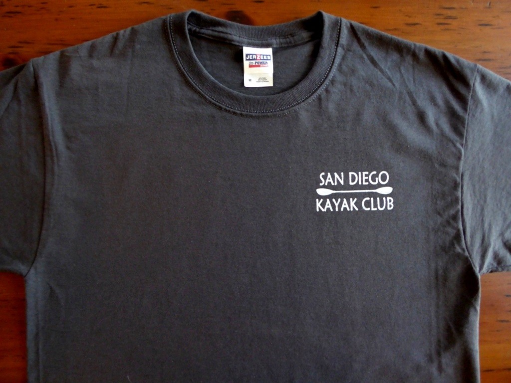
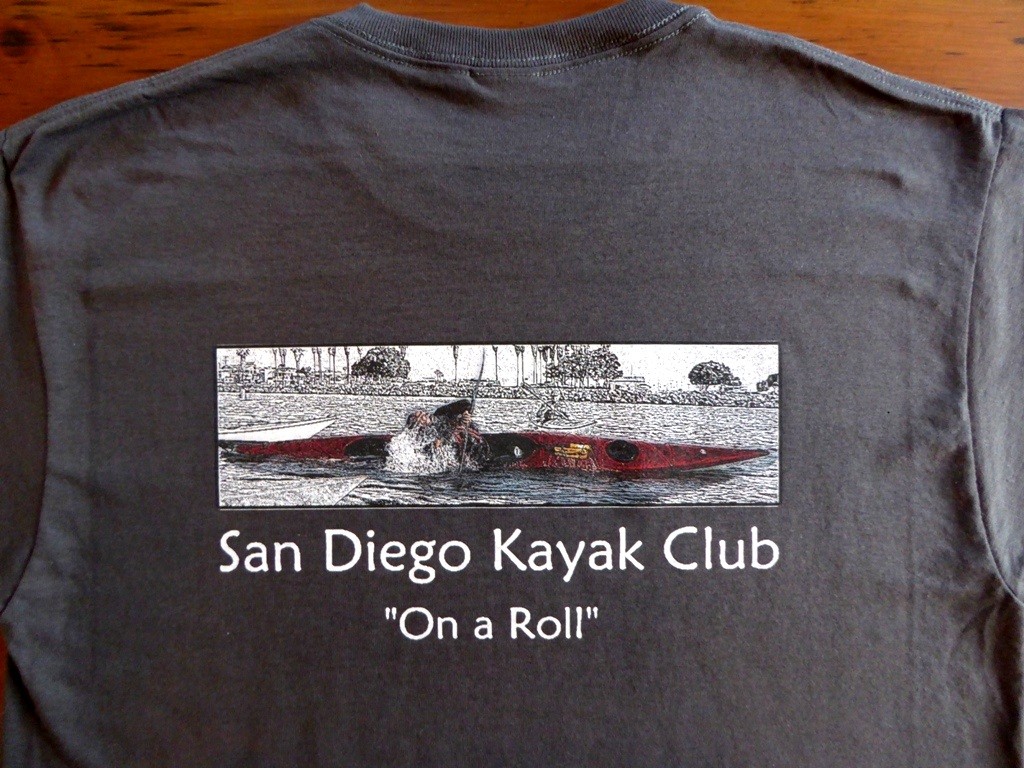
T-SHIRT FRONT-POPED  T-SHIRT BACK-POPED

(click to enlarge photos)

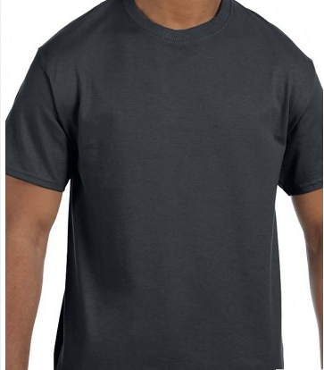
Our club now has a cool new T-Shirt to wear with our hats! The image on the back conveys not only who we are, but where we are, with those palm trees in the background. The shirt we have chosen for this is the Jerzees 29M, a 50/50 blend of cotton and polyester. This t-shirt has all the best qualities of cotton and polyester: heaviness, strength, and moisture-wicking. It is also shrink-resistant, and dries faster than an all-cotton shirt. The images will be “silk-screen” printed, producing an even better look than those in the photos. Here are the color choices:

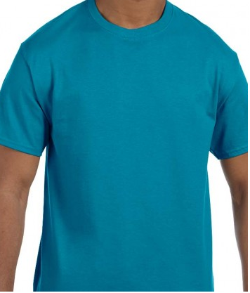
Oxford Charcoal Grey California Blue

Oxford                                            Charcoal Grey                               California Blue

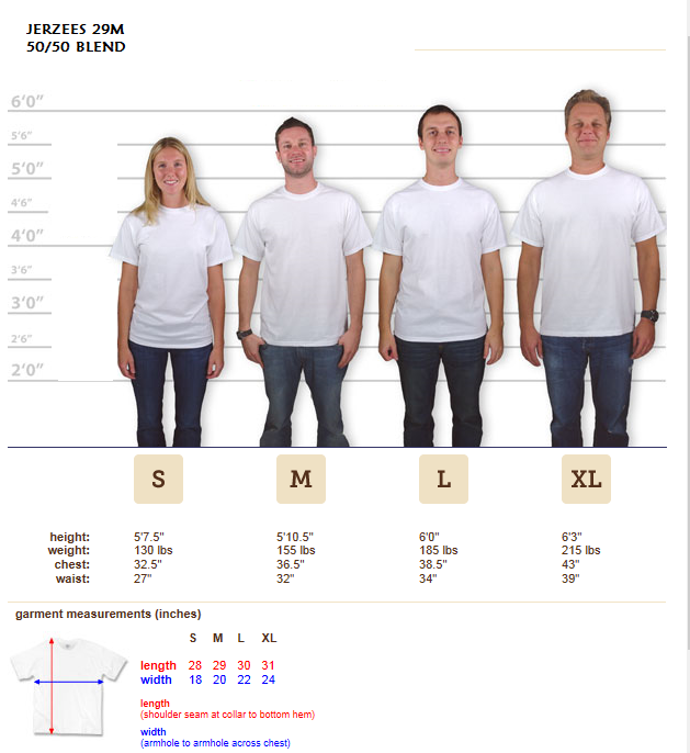
“Promo Deal”: The shirts are offered at a special initial price to club member similar as we did with the hats. If you place an order now, the special price is $15, which is a $3-$5 savings off the price when they are available for sale at Aqua Adventures. If you are not a member, simply sign up to be on our mailing list, and another email notice will be sent out in a few weeks. Just reply to that email and instructions will be sent for mailing your deposit in. The shirts will then be available for pick-up at Aqua Adventures sometime late January. The deadline for placing an order is December 23rd. Like the hats and decals, part of the proceeds from the sale of our shirts will go to the club for ongoing skills lessons and other activities for years to come. Below is a chart to help in what size to order. The shirts are a trim fit, so if you want a more relaxed fit, simply order the next size up. The shirts are only available in sizes small, medium, large, and extra-large. At this special Promo price, you may want to get 2 shirts!

SIZE CHART

“Bonus Challenge”: The photo on the back of the shirt was taken years ago on a Wednesday morning paddle. It the best photo I’ve caught of someone doing the “Eskimo Roll”, and was transformed into a “Pen & Ink” image for the shirt. Everyone in the Promo order who correctly guesses who is doing the roll will get a free club decal with the shirt. So, get your order in soon, and give yourself (and the club) a Christmas present!

TRR Fundraiser “Pints & Paddle for a Cause” a Big Success

Click to enlarge

Click to enlarge

Sunday, November 15 at Paradise Point Resort/Mission Bay was where over 100 people showed up to support the efforts of Team River Runner in their work with our Veterans. Two TV stations were there to record the event, and interviewed several people.

IMGP0973 IMGP0977 IMGP0988

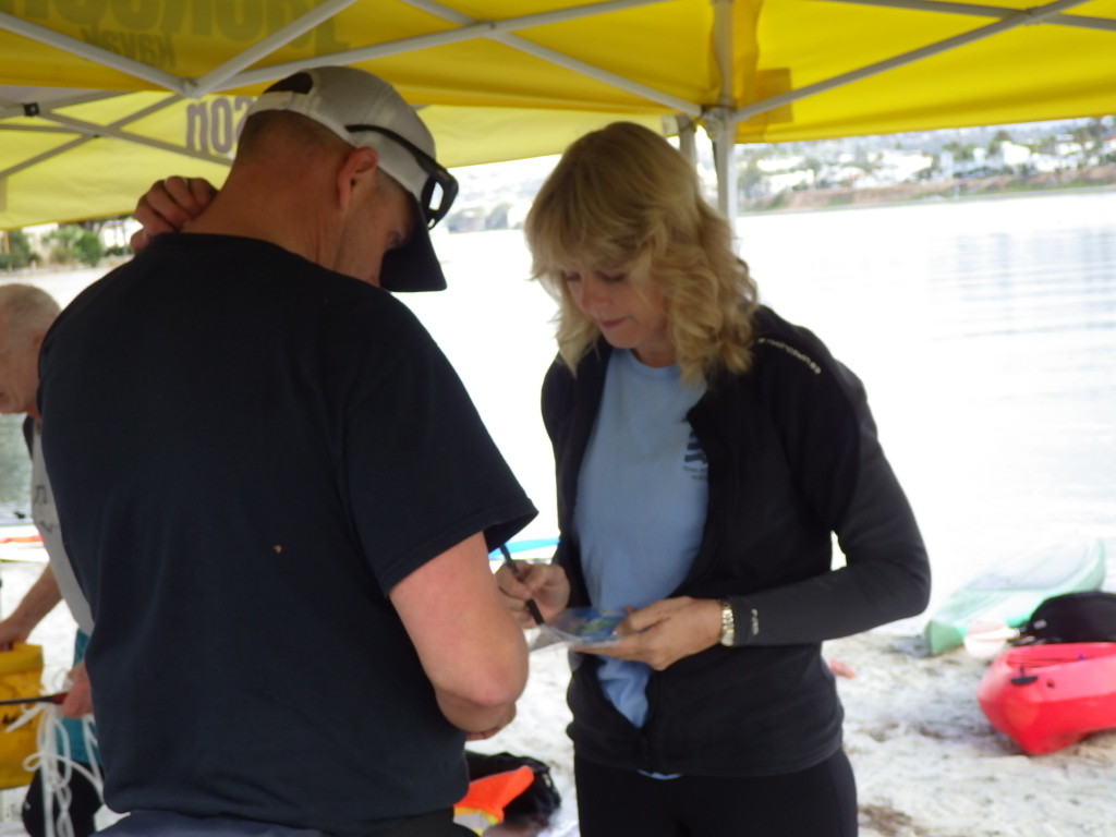
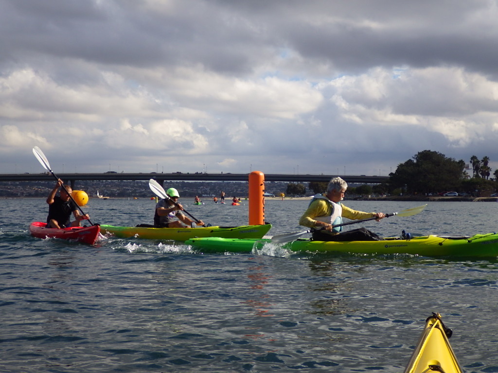
Lynne Warner (left photo above) does considerable work with TRR, and is registering a safety paddler at the start point at North Cove. Gilbert Siegel is seen turning on the steam around the second marker in one of the races (middle photo), and Joe Mornini (right photo above), the founder of TRR, is going for the finish in another race.

IMGP1001 IMGP1043 IMGP1040

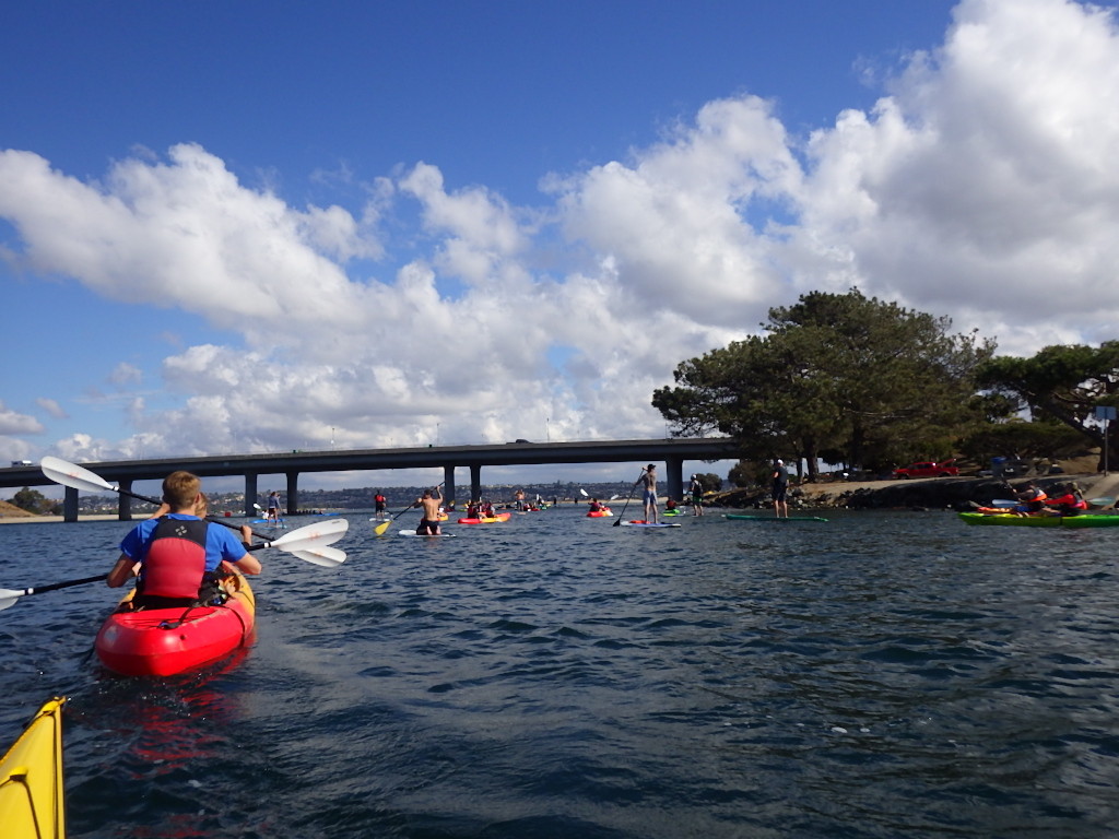
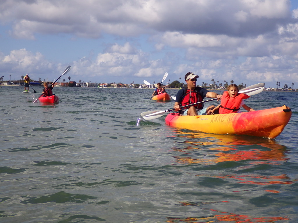
There was a wide range of people in the Recreation Paddle, including a few families. Time around the island was from 28 minutes to just over an hour. All who participated seemed to be having a great time.

IMGP1019 IMGP1050 IMGP1080

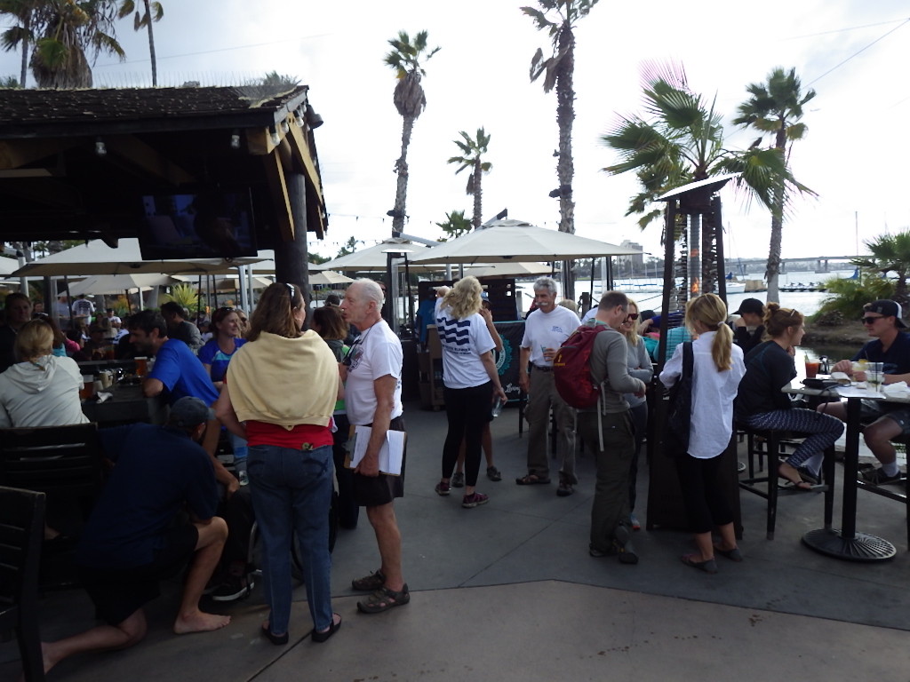
After the paddles, the lunch and raffles took place at the Barefoot Bar. The person in the above right photo with the clipboard is Dale Osborn, the organizer of the paddles, and is the San Diego TRR Chapter contact person.

IMGP1084 IMGP1089 IMGP1090

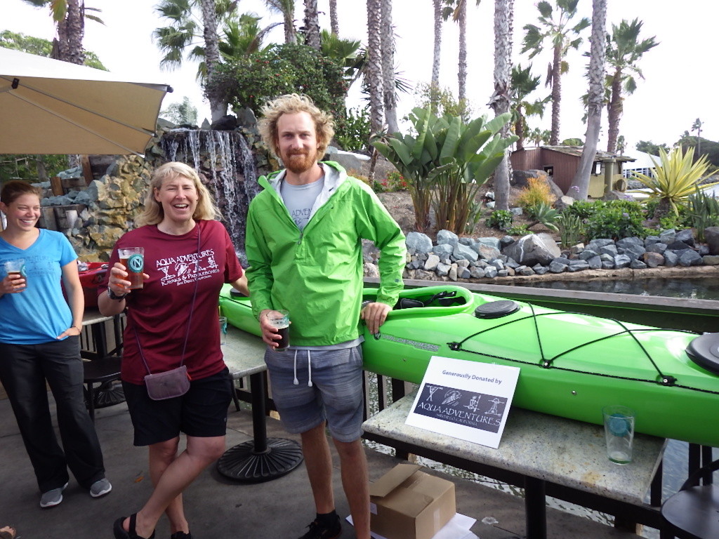
Jen Kleck donated a boat for the raffles, and is shown with friends enjoying the event. Aqua Adventures also helped with boats, etc for the paddles, as it does each month with ongoing TRR paddles. Thank you Jen for all you do.

Team River Runner (“Helping our Wounded Veterans”), is a national organization working with our vets and active military through on-the-water activities. To learn more about TRR, here is their website:

http://www.teamriverrunner.org/

Club Decals now Available at Aqua Adventures

P1430806

Decals can now be purchased for $2 at Aqua Adventures, with $1 of the proceeds going to the club for skills lessons taught at AA (to be announced). The decal measures 4 3/4″ in diameter, and is great for placing on your car window or your kayak. While you are in there pick up some SDKC business cards to hand out also, and help spread the word.

Oct 31st Skills Session Report

Click photos to enlarge

Click photos to enlarge

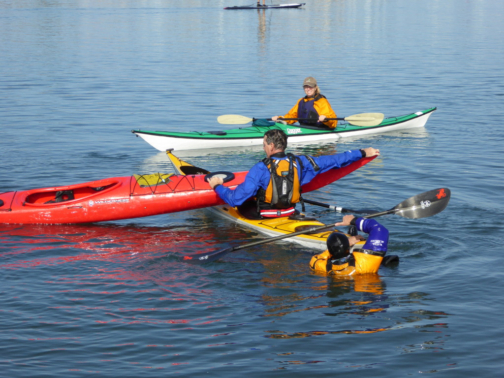
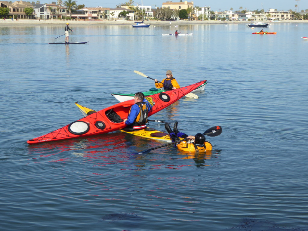
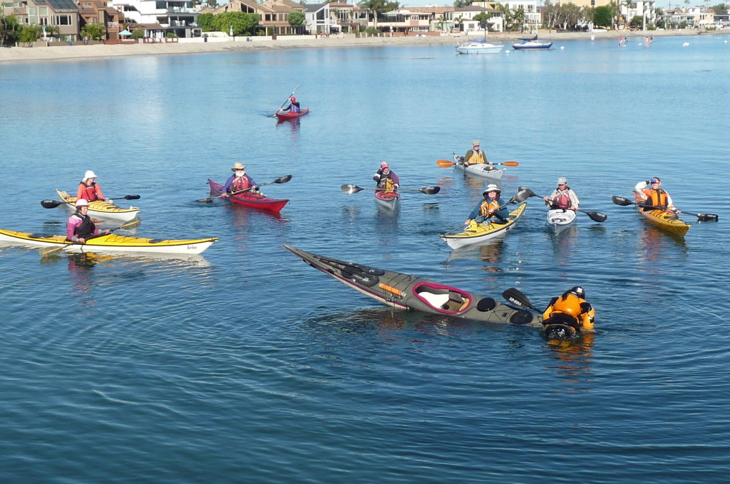
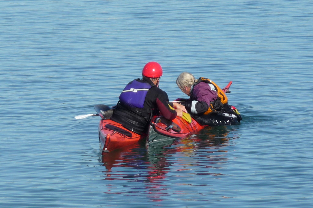
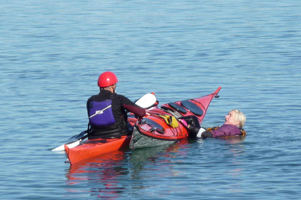
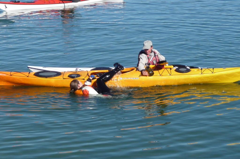
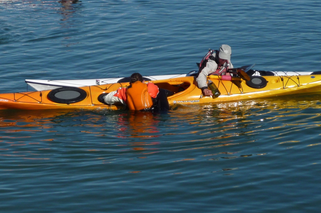
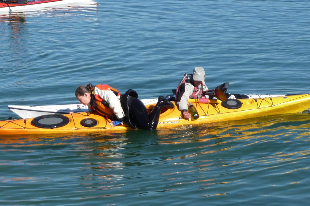
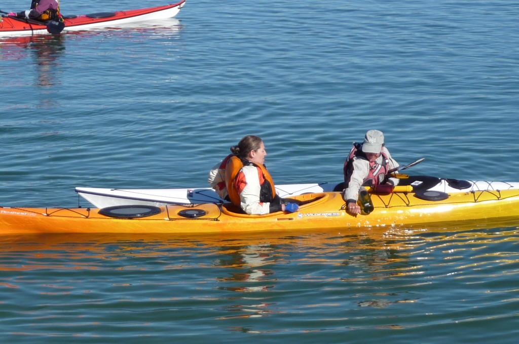
Ten people turned out for the fall skills practice session at Mariner’s Cove. Jane Hardy, and Gennifer Gatan (on far right) from CKF lead the group in practicing the “Heel Hook Rescue”, the “T-Rescue”, and the “Cowboy Recovery”.

P1440371 P1440367 P1440363

There were some new people there, and it was so good to see Robin on the water again.

P1440379 P1440378 P1440374

The Cowboy Recovery (above photos, first two) may be difficult to master, but it is a great way to develop your balancing skills. The T-Rescue (not shown) is a basic skill that everyone should learn. Photos of that will be added when this report is turned into a safety article.

P1440424 P1440396 P1440390 P1440386 P1440385 P1440384

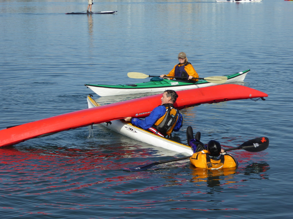
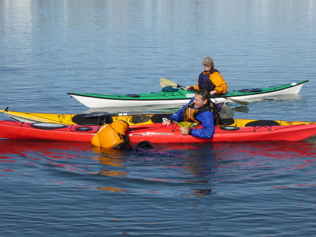
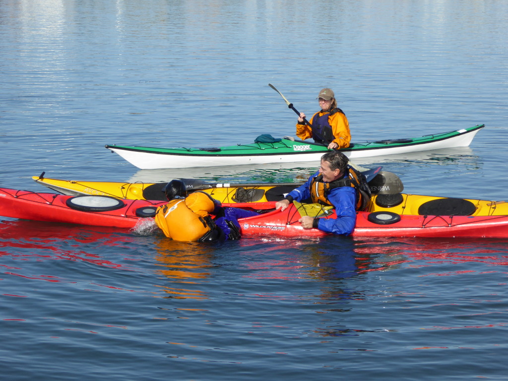
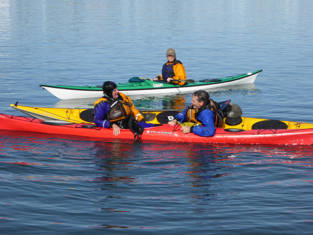
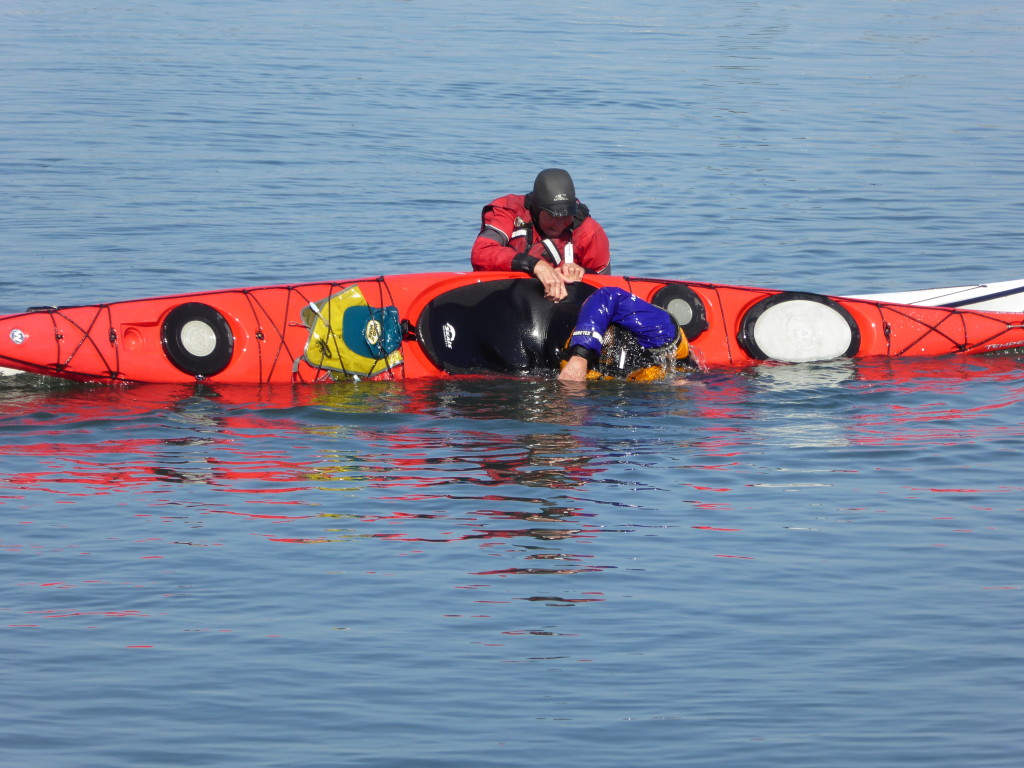
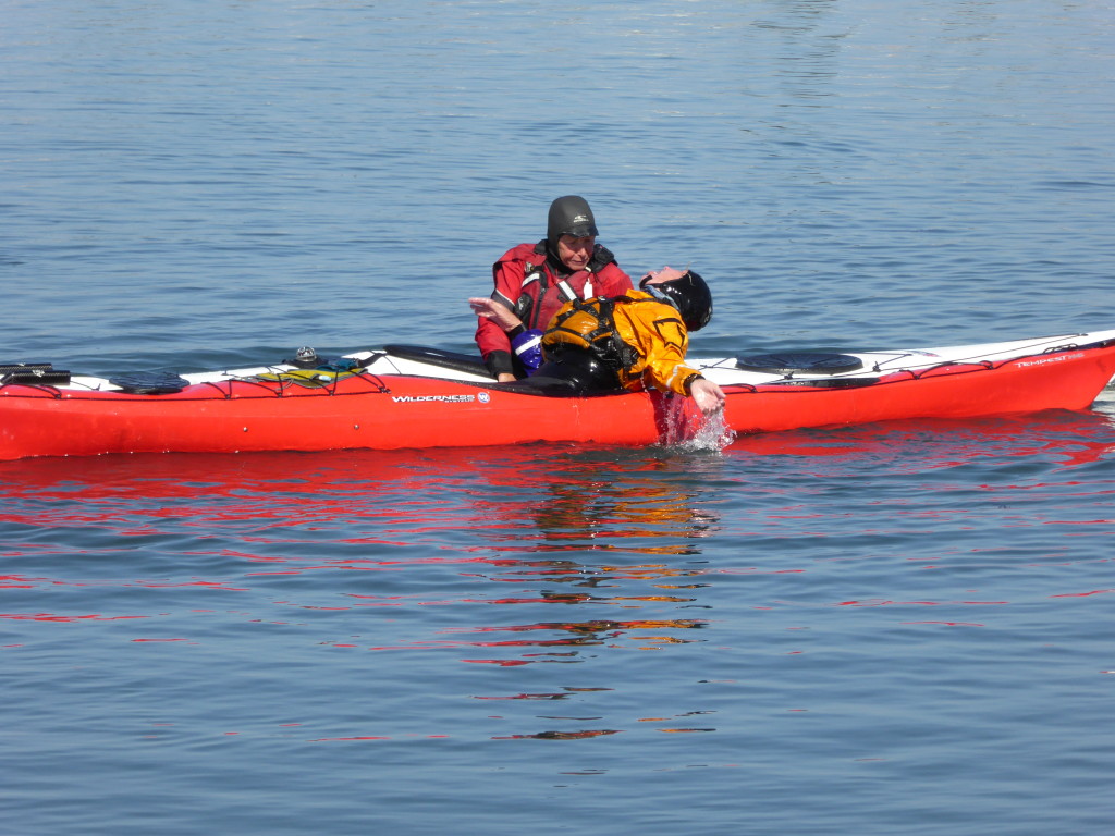
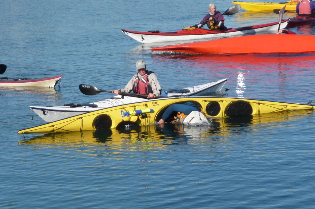
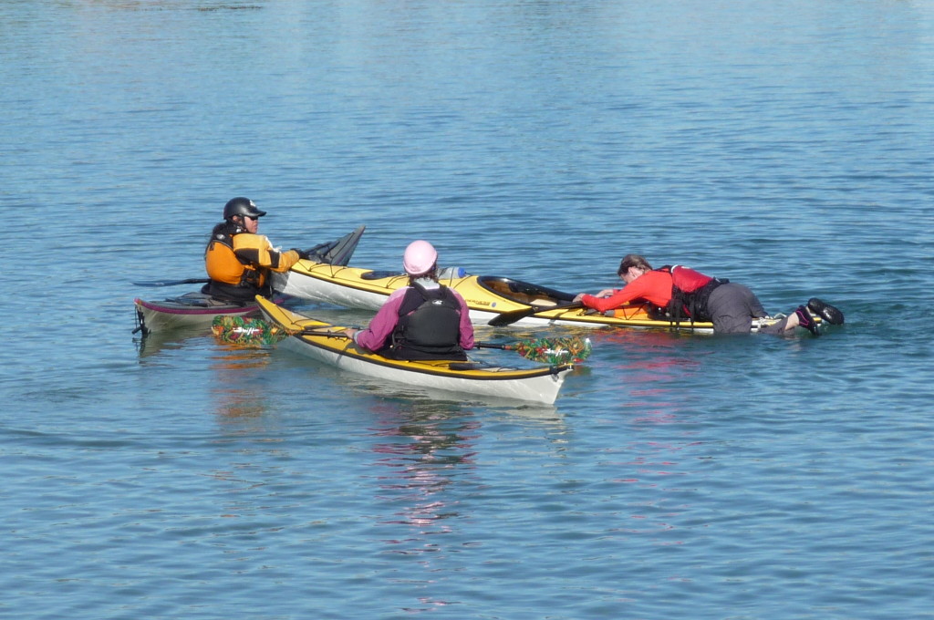
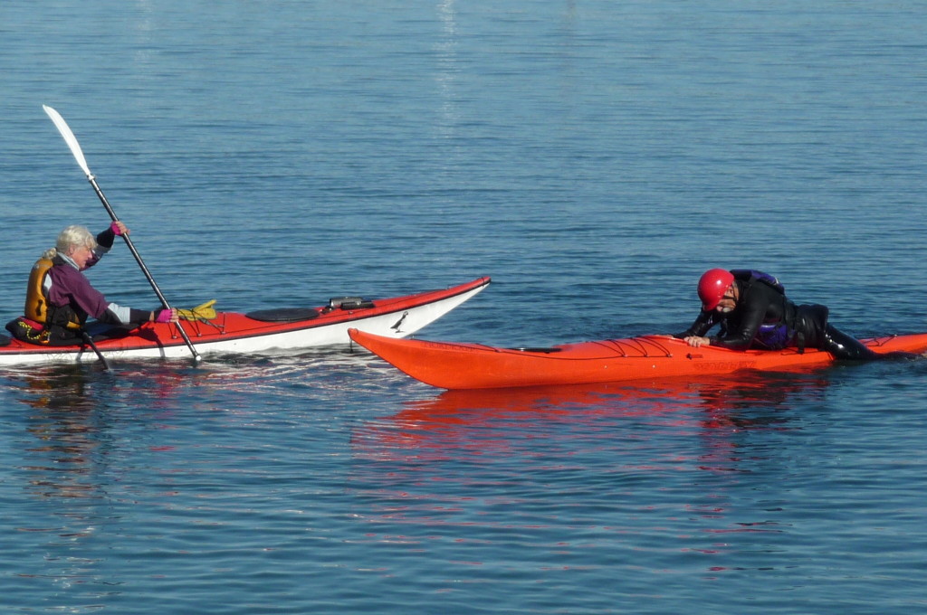
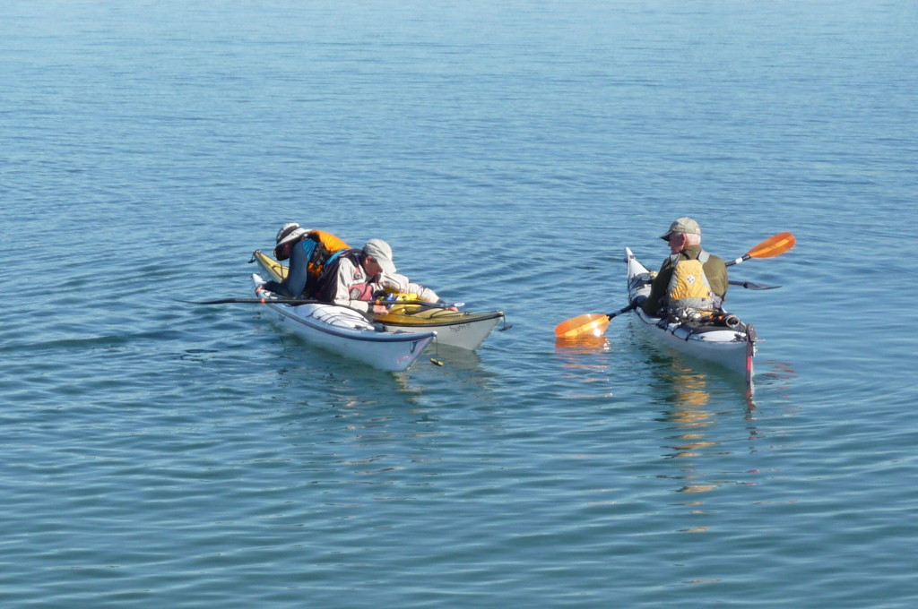
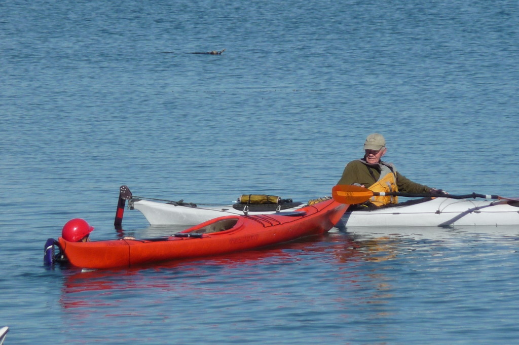
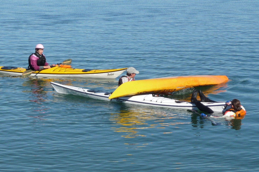
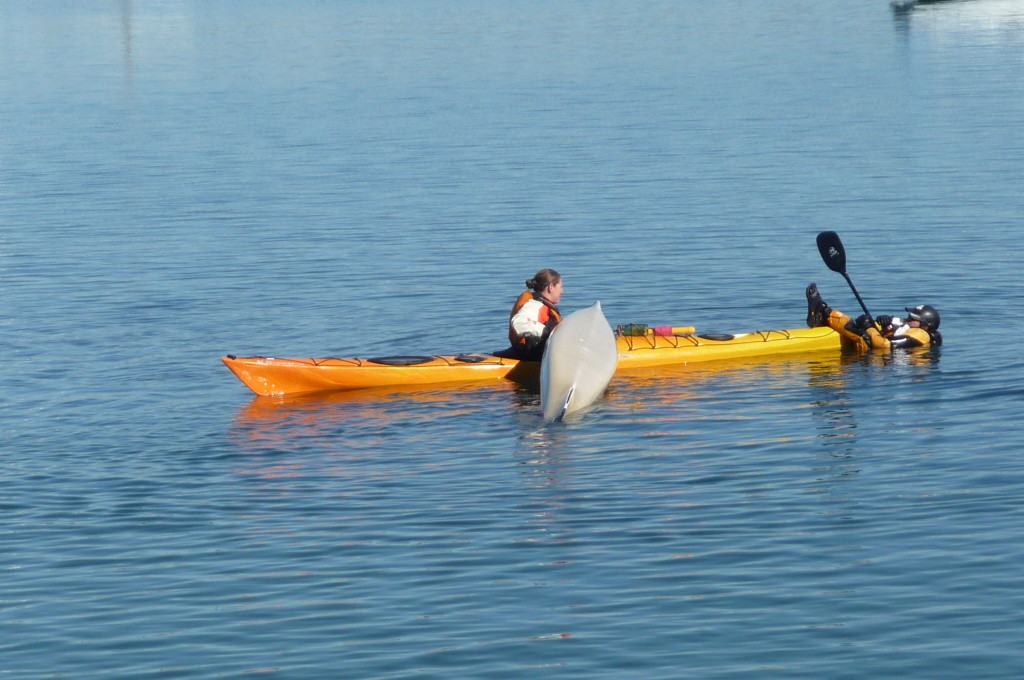
The Heel Hook Rescue is the easiest way to get back in your boat. For fast rescue in high wind and cold water, it does not matter which way to have the bow pointing, and can be performed as Jane and Erin are demonstrating below (first 4 photos) with a bow-to-bow configuration, but is more efficient if the boats are bow-to-stern. The rescuer holds the boat as shown, while the other person faces aft and hooks the heel inside the cockpit toward the bow, then pull up and roll onto your stomach, assisted with your arm while straightening your leg. If you are using your right heel, then your right arm is used to reach across your boat to assist in the rotation. Grab both your deck line and the other boat’s deck line with that hand, which will keep the boats together, making the entry more stable, especially in rough water. The Heel Hook is easier than other reentry methods because our leg muscles are much stronger than our arms, so let the leg do the work.

P1440402 P1440403 P1440404 P1440405 P1440439 P1440433

There are videos on the web showing these and other methods of getting back into your boat, but the best way to master them is to take a class at Aqua Adventures and come out to our practice sessions. Hope to see you next time.


Batiquitos Lagoon Annual Kayak Cleanup Event

The Batiquitos Annual Kayak Cleanup Event is the only time of year when kayaks are allowed on Batiquitos Lagoon, which is an ecological preserve bordering Carlsbad, Ca and Encinitas, Ca. It is one of the few remaining wetlands in the U.S. and is home to many species of birds, fish and animals, many of whom are endangered. The Batiquitos Lagoon Foundation is a non profit 501(c)(3) run entirely by volunteers. This is our major fundraising event of the year.

Bring your own kayak or use one provided by REI, minimum age is 12 years. It is a two hour event fundraiser priced at $60 per person. Kayaks will launch every 2 hours in groups of six with a water safety instructor. Participants will go around the lagoon and collect trash, plastic, debris etc. The cost is $60.

There will be scheduled family events all day on site such as: live animal demonstrations, bird viewing, and arts & crafts for kids. REI will sponsor a Go Pro master class and a My First Cleanup event for ages 4+. Dos Bandidos Baja food truck will be on site both days. Have fun and help the environment. Help keep Batiquitos beautiful!

Sign up at www.batiquitosfoundation.org

The location is the Park & Ride on La Costa Ave Carlsbad, Ca It is a two day event held Saturday and Sunday 11/14/15 & 11/15/15

June Lake Trip Report

Click photos to enlarge

Click photos to enlarge

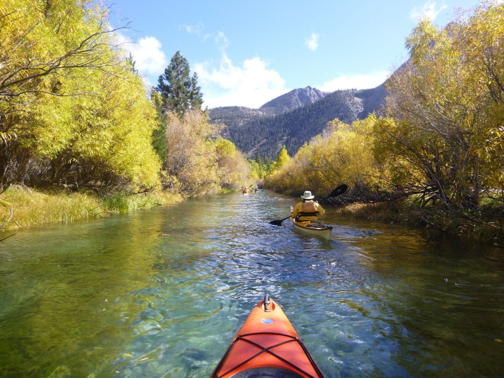
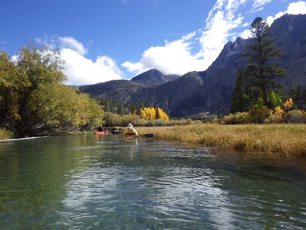
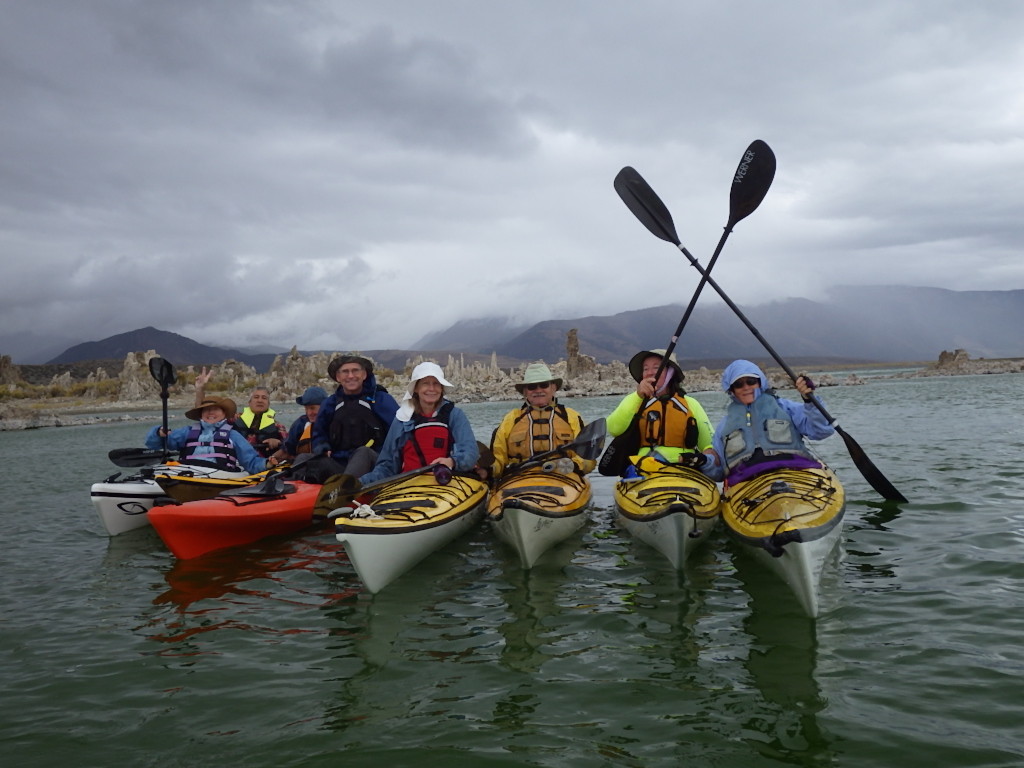
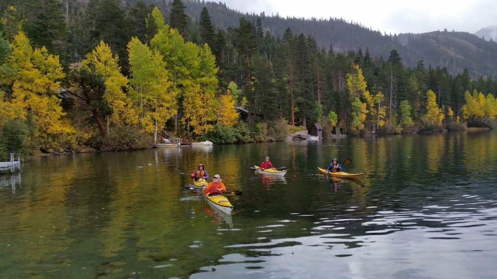
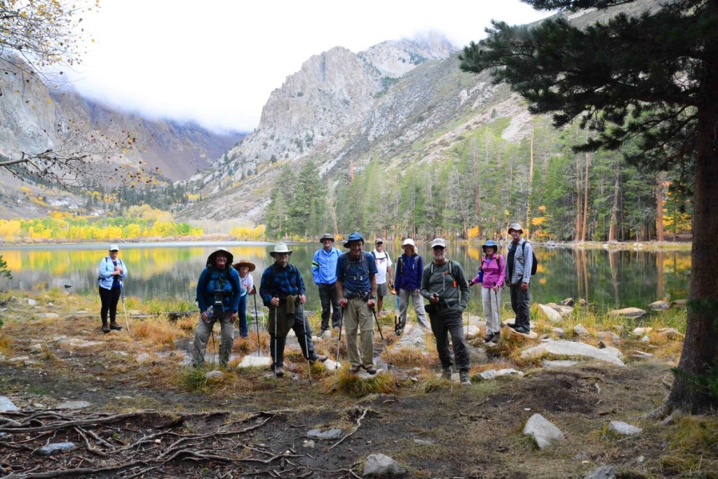
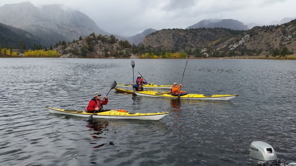
Thirteen of us went up to the June Lakes Loop north of Mammoth on Oct 14-18 for the 3rd Annual Fall Colors Paddle and Hike trip.

GULL LK PADDLE PARKER LK RETURN PARKER LAKE HIKE

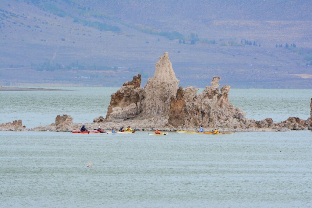
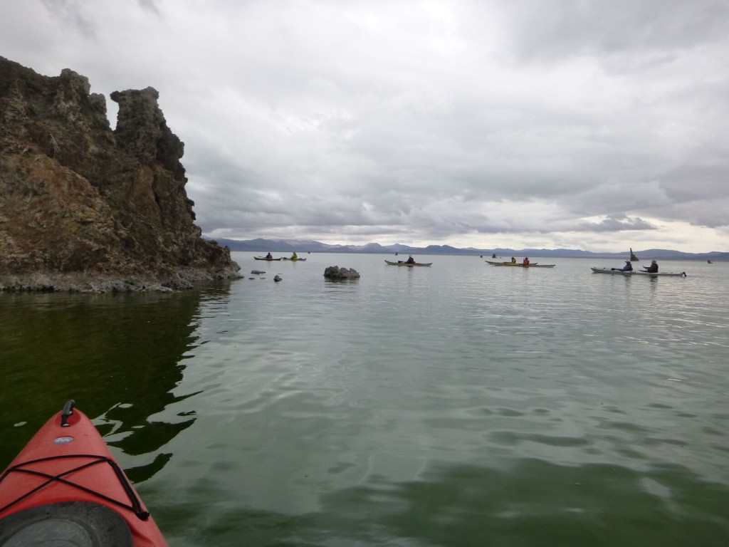
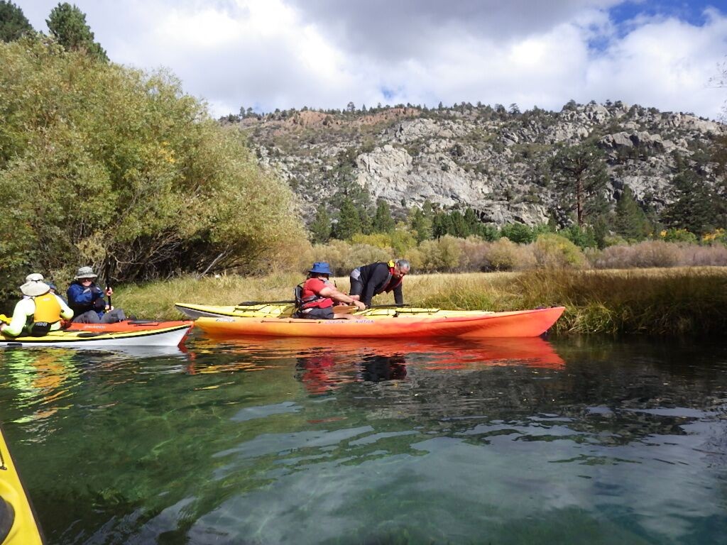
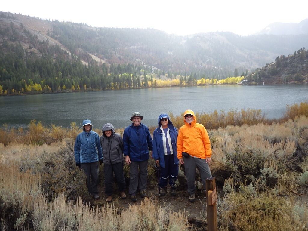
Cool temperatures and some rain gave us that great fall experience. We paddled Mono Lake, Silver Lake and up the inlet, and Gull Lake.

SILVER LK INLET2 (2) SILVER LK INLET2 MONO LK

MONO LK 2 IMGP0865 GULL LK

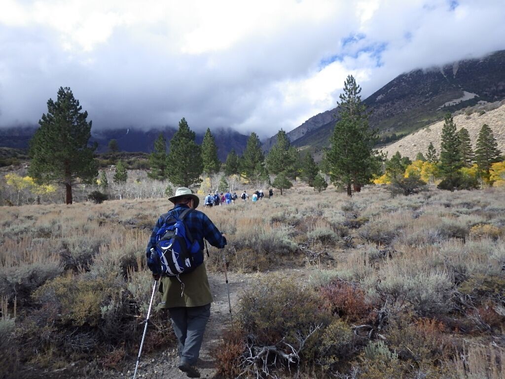
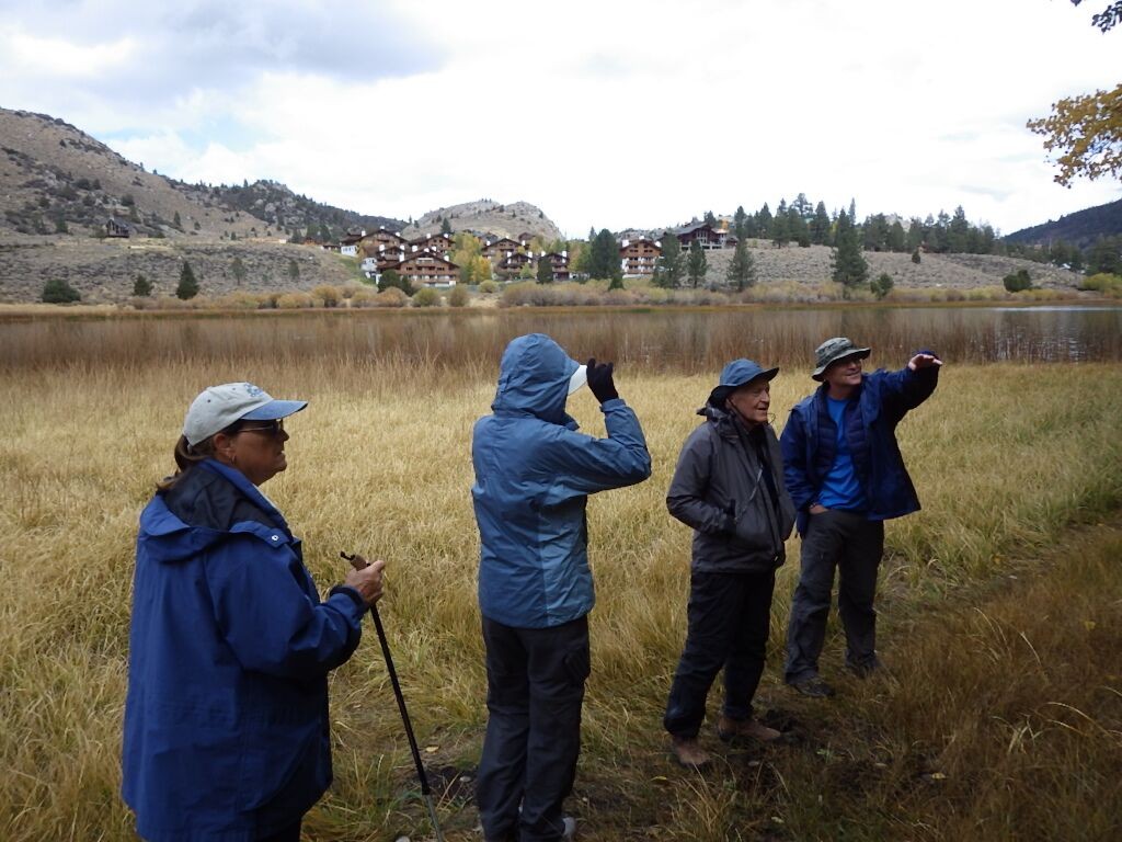
The two day-hikes took us up to Parker Lake, and around Gull Lake.

DES RESCUE HIKE TO PARKER LK PARKER LK HIKE

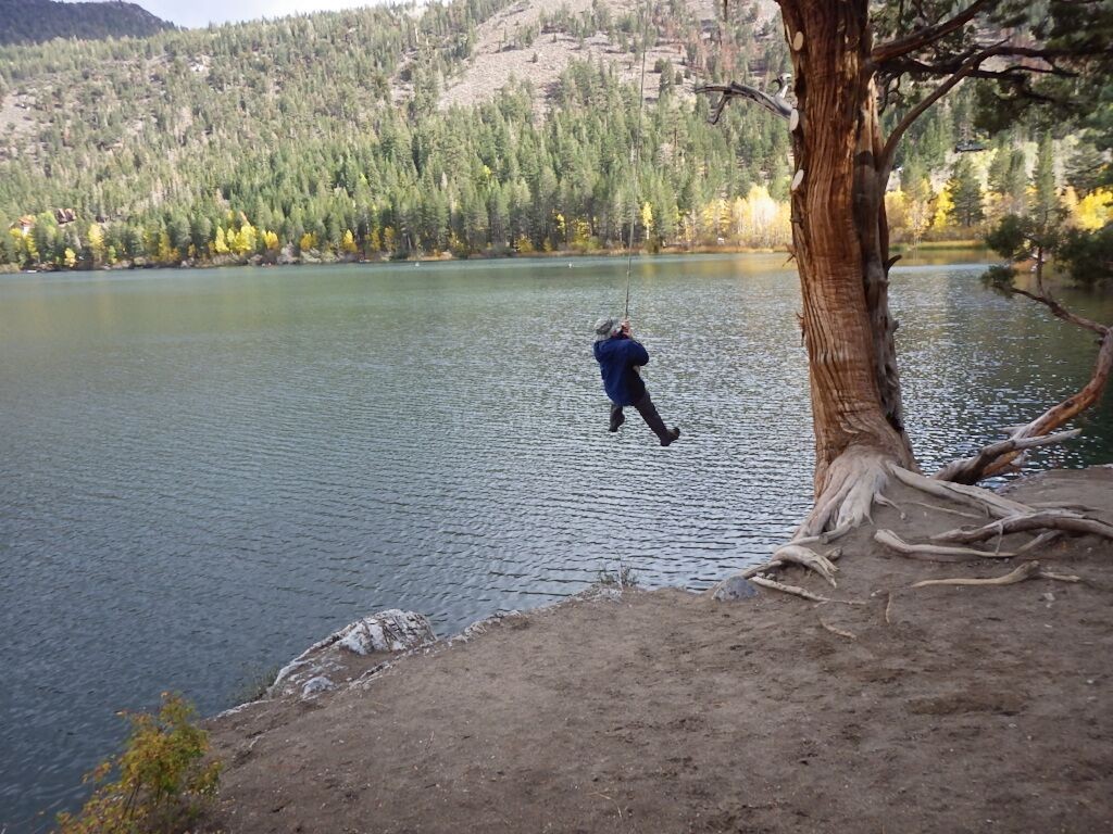
KIRK ON ROPE GULL LK HIKE2 GULL LK HIKE

Some of us drove up to Conner Summit to see the Aspens in deep red, orange, and yellow colors. Everyone who went said they had a great time, and we hope you join us next year.

FALL COLORS2 GULL LK PADDLE2 HIKE AROUND GULL LK

Photos: Dale Osborn, Kirk Rozelle, Jay Murdock

Safety Paddlers Needed!

helpingourwoundedvets-300x57

TeamRiver Runner needs safety paddlers for their fundraiser next month. TRR’s second fundraiser, “Pints and Paddles for a Cause“, will be on Sunday November 15.  Again it will be held at the Barefoot Bar and Grill and part of San Diego Beer Week.  We expect it to be a bigger event than last year with additional sponsors, including Jackson Kayak.

 It will start off with “Pro” kayak races at 9am, Amateur Races at 10am, a recreational paddle from 11-1, beer, food and music at the Barefoot Bar and Grill from 10-2.  Jackson Kayaks will provide all personnel for the races but we will need 16-20 safety paddlers for the recreational paddle around Vacation Island.  All racers, regardless of how they do, will receive a drawing ticket and chances to win lots of great prizes.

Skills Practice Session Report

September 12th was an ideal day for refreshing our kayaking skills, with warm air and water temperatures. Click on the photos to enlarge them.

IMGP0773 IMGP0774 IMGP0775

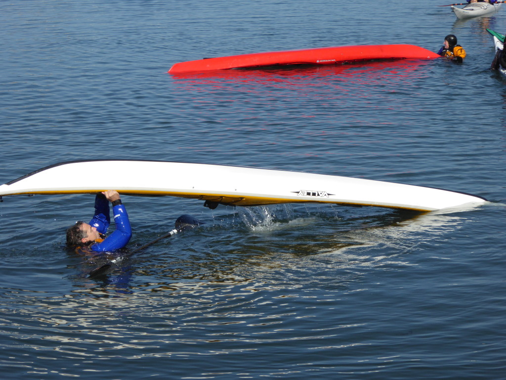
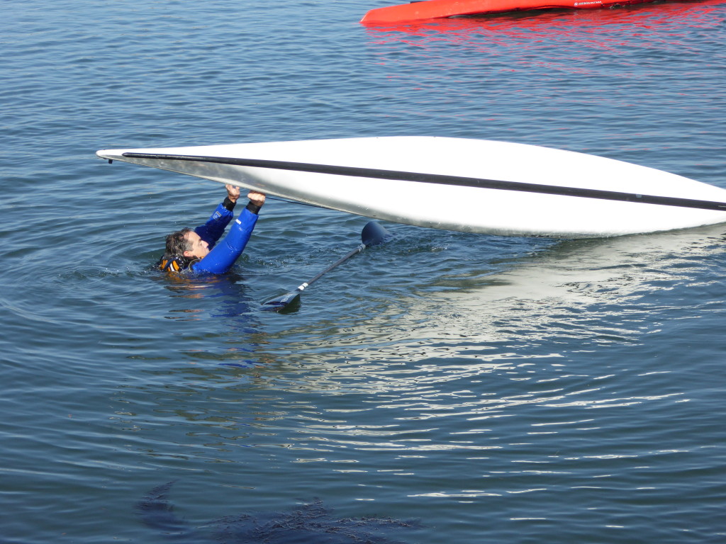
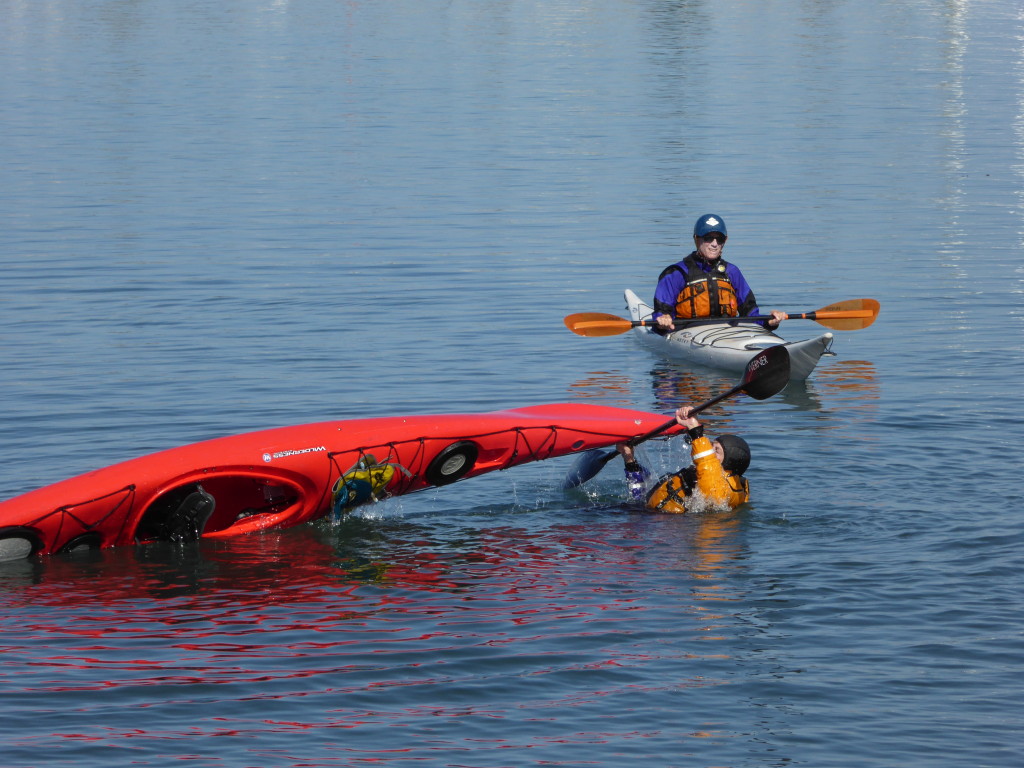
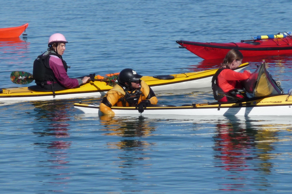
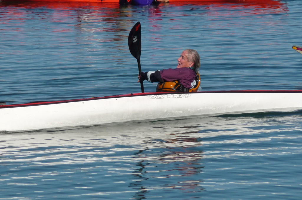
Learning and practicing “Safety Skills” is very important for any level of paddler. Some practiced the “Roll”, while others concentrated on Self-Rescue and Assisted Re-Entry.

IMGP0796 IMGP0804 IMGP0806

Two basic skills to learn and practice are the “T-Rescue” and the “Heel-Hook Re-Entry“. Both are easy to understand, and not that difficult to execute. The Heel-Hook is great for using with a paddle float self-rescue, and with the assisted re-entry. If you are a beginner, you need to learn them. Take the basic skills class from Aqua Adventures, and “up” your level of being a safer kayaker. Then come practice those skills with us.

IMGP0816 IMGP0840 IMGP0778

Jane demonstrated her flexibility when she practiced the Balance Brace and then attempted standing up…good exercises for developing your balancing skill. Gilbert helped several people with pointers, and did a few nice rolls.

IMGP0823 IMGP0828 IMGP0833

John appeared out of nowhere on his SUP looking dapper (but missing something?), and everyone had a good morning of practice. It was time well spent.

IMGP0835 IMGP0843 IMGP0812

This article will be soon be posted as one of the Safety Articles, and expanded on. The local Coast Guard Auxiliary Liaison Officer has read several of these articles, and has given them a “thumbs up“. There is a lot of information there that will help you in becoming a safer paddler, which is why practice sessions are so vital. Come join us next time we have one of these. They are fun and not intimidating.  We simply pair up and work on whatever you need to. The higher your skill level, the more you will enjoy this wonderful sport.